


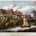
Tewkesbury
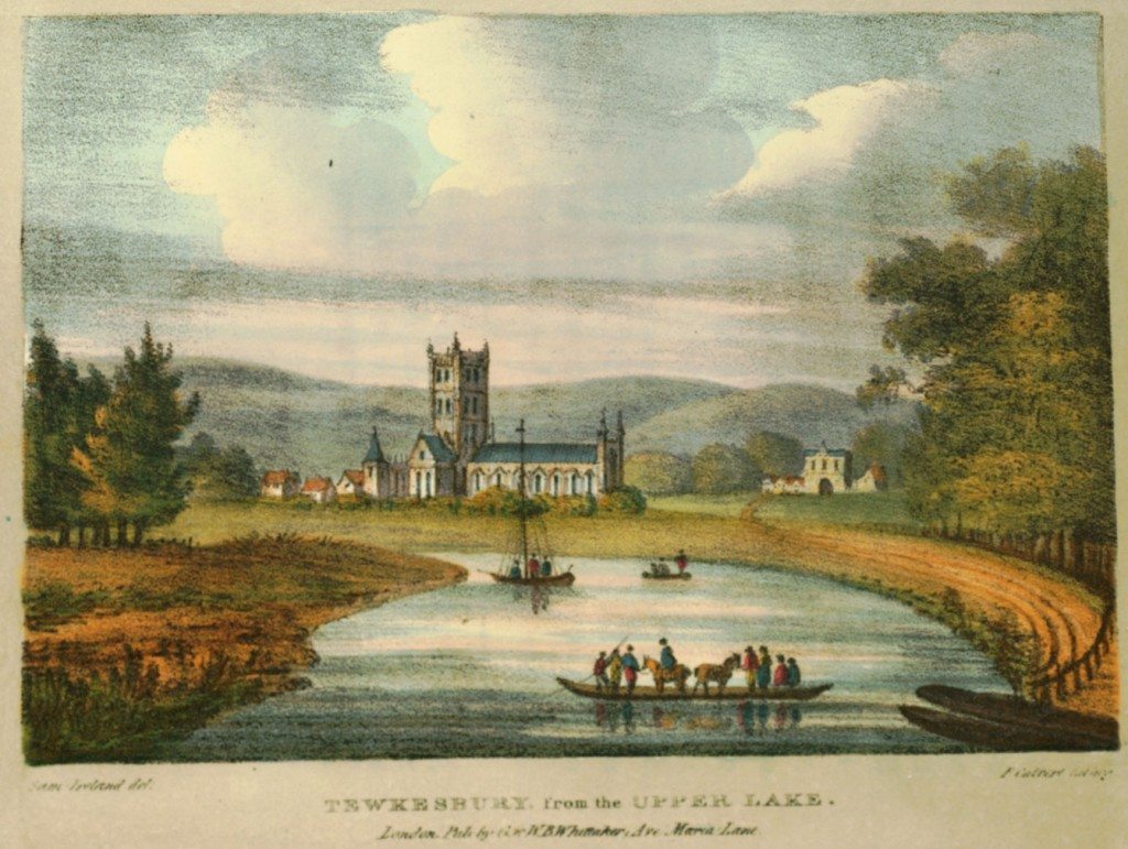
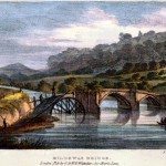
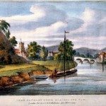
Image: Tewkesbury, Gloucestershire from the Upper Lake.
“By the tortuous windings of the Severn, the large, respectable, and populous town of Tewkesbury is about seven miles south-east from Upton, and thirteen or fourteen miles northeast from Gloucester…It is delightfully situated in the vale of Evesham, on the eastern side of the Upper or Warwickshire Avon, near the confluence of that river with the Severn, and between the Carron and Swilgate streams, which flow into the Avon; the former above, and the latter a little below the town. Thus nearly surrounded by water, it is entered from different points by three bridges; the chief of which, over the Avon, from the Mythe to Tewkesbury Quay, was constructed of iron in the autumn of the year 1822….At present, the manufacture of nails, of cotton stockings, and the business of malting, are the chief sources of wealth and employment, in this town.”
Harral, vol. 2, p 118, 130
« Previous in this sectionNext in this section »Continue browsing this section
 A Journey down the Severn from Thomas Harral’s Picturesque Views of the River (1824)
 Introduction: the Severn Waterway
 Poetry and Visions of the River Severn
 The Severn and its Origins in Wales
 Newtown to Montgomery
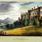 Powis Castle to Welshpool
 Welshpool to Shrewsbury
 Shrewsbury
 The English Bridge, Shrewsbury
 The Welsh Bridge, Shrewsbury
 Atcham Bridge, Shropshire
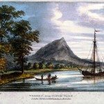 The Wrekin
 Buildwas Bridge and the Severn Earthquake of 1773
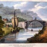 Coalbrookdale and the Ironbridge
 Madeley, Broseley and Lilleshall
 Bridgnorth
 Bridgnorth’s Economy
 Bridgnorth Castle
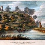 Quatford and the nearby Landscape
 Bewdley
 The Wyre Forest
 Stourport
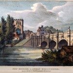
 Stourport Bridge
 Worcester
 Worcester to Upton-on-Severn
 Tewkesbury
 Gloucester
 Gloucester’s Economy and the Severn Trade